
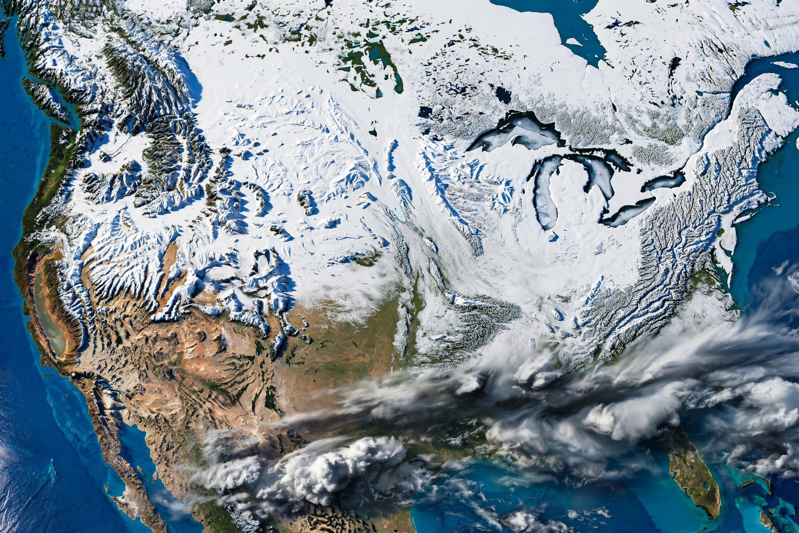
Winter has not officially begun, but the National Oceanic and Atmospheric Administration has already given Americans a preview of what the cold months may bring. NOAA released its U.S. Winter Outlook for December 2026 through February 2027 on October 15, and the headline is clear: a very strong El Niño is tilting the odds toward a warmer-than-average winter across the northern United States and a wetter-than-average winter across the South and the East Coast. For anyone planning holiday travel, heating budgets, or a winter getaway, the outlook is worth reading carefully, with one important caveat that NOAA itself stresses again and again: a seasonal outlook describes odds, not certainties, and it does not predict how much snow any single town will receive.
El Niño is the periodic warming of ocean surface temperatures in the central and eastern tropical Pacific, and it rearranges weather patterns far beyond the tropics. When El Niño is strong, it tends to push the jet stream south and east across the contiguous United States. That shift is why forecasters expect stormier weather across the South this winter. NOAA National Weather Service Director Ken Graham put it plainly when the outlook was released, noting that decades of observations show a very strong El Niño will likely bring a southward and eastward shift to the jet stream, tilting the odds toward stormier weather across the South. The outlook is produced by NOAA’s Climate Prediction Center, which updates its three-month outlooks monthly, with the next update due November 19.
What El Niño means for this winter
El Niño does not create winter weather out of nothing. It nudges the large-scale patterns that steer storms, cold air, and moisture. In a strong El Niño winter, the southern branch of the jet stream tends to stay active, carrying Pacific moisture across the southern tier of the country and up the East Coast. At the same time, the northern tier often stays milder, because Arctic air has a harder time plunging south when the jet stream is displaced. That combination explains the two big features of this year’s outlook: warmth favored in the North, wetness favored in the South. It also explains why two neighbors can have very different winters even under the same outlook. A seasonal average is not a daily forecast, and a warmer-than-average winter can still include sharp cold snaps, ice storms, and heavy snow events. What changes is the balance of the season, not the absence of winter weather.
It is also worth understanding what the outlook does not say. NOAA’s seasonal outlooks do not forecast seasonal snowfall totals, because snow cannot be predicted reliably more than about a week ahead. A wetter-than-average South does not automatically mean a snowy South, and a warmer-than-average North does not mean a snow-free North. Precipitation can fall as rain, snow, sleet, or freezing rain depending on the temperature at the moment a storm arrives. Readers who want snowfall information should follow short-range forecasts from the National Weather Service as storms approach, rather than treating the seasonal outlook as a snow promise.
Temperature: warmer across the North
NOAA’s temperature outlook favors warmer-than-average conditions across northern California, the Pacific Northwest, the northern Rockies, the Midwest, the Mississippi Valley, much of the East, and Alaska, as well as Puerto Rico and the U.S. Virgin Islands. Near-normal temperatures are most likely across parts of the Southeast, including Florida. Hawaii and much of the Southwest fall into the equal-chances category, meaning NOAA sees no tilt toward below-average, near-average, or above-average seasonal temperatures there. For the Pacific Northwest and the northern Rockies, the warmth signal is among the strongest in the outlook, which matters for ski areas, mountain snowpack, and water supplies that depend on winter snow. For the Midwest and the East, a milder seasonal average could mean lower heating demand overall, but it should not be read as a guarantee of a mild January. Cold air outbreaks can still arrive, and when they do, they can be severe even in a warm-tilted winter.
Households can use the outlook as a planning hint rather than a budget guarantee. If you heat with oil, gas, or electricity, a warmer-than-average winter leans toward lower seasonal use, but a single prolonged cold snap can erase that advantage. The practical move is the same in any winter: service heating equipment before the coldest weeks, seal obvious drafts, and keep an eye on short-range forecasts. Travelers heading north for winter sports should check resort snow reports and mountain forecasts close to departure, since seasonal warmth says nothing about conditions on a particular weekend.
Precipitation: wetter across the South and East Coast
NOAA’s precipitation outlook favors wetter-than-average conditions across the southern tier, from the Southwest through the Southeast, and along the East Coast. The highest odds of a wet winter sit in the extreme Southeast and northern Florida in related outlooks. Wetter does not always mean stormier in a dramatic sense; it means total precipitation over the three-month season is more likely to finish above average. For the drought-stressed Southwest and Southern Plains, that is welcome news, though it also raises the risk of flooding when heavy rain falls on dry, hardened ground. For the East Coast, an active southern storm track can mean more coastal storms, more rain, and, when cold air is in place, more chances for winter storms that mix rain, snow, and ice.
Drier-than-average conditions are favored across parts of the northern Rockies and Great Lakes, much of Alaska, Hawaii, and the western Pacific Islands. Areas in the Intermountain West, the northern Plains, the Ohio Valley, and Puerto Rico and the U.S. Virgin Islands have equal chances of below-average, near-average, or above-average precipitation. The pattern fits the classic El Niño fingerprint: the storm track shifts south, leaving parts of the North drier while the South gets more action. Gardeners, farmers, and water managers in the favored-wet regions should still plan for variability, because a wet season average can include dry spells, and a dry tilt does not rule out individual heavy storms.
Drought: improvement expected for much of the country
One of the more encouraging parts of the outlook concerns drought. NOAA’s drought outlook, which runs from October 15, 2026, through January 2027, predicts that drought conditions will improve or end by the end of January across the Southwest, the Southern Great Plains, the Southeast, and parts of the East Coast. That would be genuine relief for regions that have dealt with dry soils, low reservoirs, and wildfire risk. At the same time, drought is favored to develop or worsen across parts of the northern Rockies, along with northeastern Oregon and eastern Washington. Drought outlooks are about trends, not guarantees, and local conditions depend on how individual storms track. Still, the broad message is that the coming winter should help much of the country on the drought front, with the northern Rockies as the notable exception to watch.
What this means region by region
In the Northeast and Mid-Atlantic, expect a winter that leans milder than average with an active storm track nearby. That combination often produces a mix of rain and snow events rather than a steady deep freeze, and coastal storms remain a real possibility. In the Midwest and Mississippi Valley, warmer-than-average temperatures are favored, but the region sits near the boundary between warm and wet signals, so residents should be ready for both mild stretches and sudden cold. In the Southeast, near-normal temperatures and wetter conditions suggest a winter with more rain and more storm systems, and forecasters have noted that snow is even possible in places that rarely see it, such as northern Texas, when cold air and southern moisture meet at the right moment.
In the Southwest and California, wetter-than-average conditions are favored, particularly in the south, with a chance of more snow in parts of Nevada, the southern Rockies, and the San Bernardino Mountains. That is good news for water supplies if storms deliver, but it also means travelers in mountain areas should prepare for winter driving conditions. In the Pacific Northwest, warmer-than-average temperatures are favored, which can mean more rain than snow at lower elevations and a later start to the ski season in some places. In Alaska, warmer-than-average temperatures are favored across much of the state, while drier conditions are favored in central and western interior areas. In Hawaii, the outlook is more uncertain, with equal chances on temperature and drier-than-average precipitation favored.
New tools for winter weather this year
NOAA also announced upgrades to its winter weather products for this season, including a Probabilistic Precipitation Portal that lets users see low-end, expected, and high-end amounts of winter precipitation such as snow, ice, and rain. That kind of range-based information is more honest than a single number, because winter precipitation is inherently uncertain. A forecast that says a town might see a little or a lot, with a most-likely amount in between, helps people prepare for the range of outcomes instead of being surprised by either extreme. The portal and other winter tools are part of a broader shift toward communicating uncertainty clearly, which is exactly what a seasonal outlook requires. The outlook gives odds, and the tools help people act on those odds without overstating them.
How to use the winter outlook wisely
The smartest way to use the NOAA winter outlook is as a seasonal backdrop for practical decisions. If you are planning a winter road trip, the outlook tells you which regions are more likely to be stormy, but only a short-range forecast tells you whether your travel days are safe. If you are budgeting for heating, the outlook leans toward milder conditions in the North, but it is not a reason to skip furnace maintenance or emergency supplies. If you live in a flood-prone area in the South, a wetter tilt is a good prompt to check drainage, gutters, and insurance coverage before the stormiest months arrive. And if you are a skier, gardener, or farmer, the outlook is a starting point for a conversation with local forecasts, not a substitute for them.
Winter weather will still surprise us. That is the nature of the season. What NOAA’s outlook offers is a well-grounded sense of which surprises are more likely than others this year: warmth in the North, wetness in the South, and drought relief for much of the country, all shaped by a very strong El Niño. Keep that picture in mind, watch the monthly updates, and check the short-range forecast before you head out into whatever winter actually delivers.
Sources and further reading
NOAA’s official release explains the outlook in full, including the temperature, precipitation, and drought maps: NOAA: El Niño looms large over U.S. Winter Outlook. A plain-language summary of the same outlook is available from The Weather Company: NOAA released their winter outlook for December through February.
Related reading
2026 Atlantic Hurricane Season: Final Month in November · November 2026 Night Sky: Beaver Supermoon and Leonids · Valley of Fire: Nevada’s Oldest State Park Guide
Frequently asked questions
When does NOAA’s winter outlook cover? December 2026 through February 2027, the core three months of winter. The accompanying drought outlook runs from October 15, 2026, through January 2027, and the three-month outlook is updated monthly.
Does a warmer-than-average outlook mean no snow? No. A seasonal average can be warmer than normal and still include cold snaps and snowstorms. The outlook describes the balance of the season, not the weather on any single day.
Does NOAA’s outlook predict snowfall totals? No. NOAA states that its seasonal outlooks do not project seasonal snowfall accumulations, because snow cannot be forecast reliably more than about a week ahead.
What is El Niño? El Niño is a periodic warming of ocean surface temperatures in the central and eastern tropical Pacific that shifts global weather patterns, including the jet stream over North America.
Will drought improve this winter? NOAA expects drought to improve or end across the Southwest, Southern Great Plains, Southeast, and parts of the East Coast by the end of January, while drought may develop or worsen in parts of the northern Rockies.