
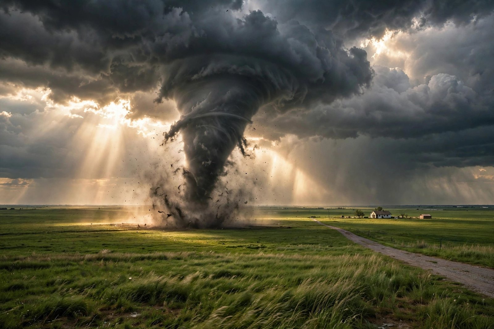
Every year, the United States sees about 1,200 tornadoes touch down, more than any other country on Earth by an enormous margin. Canada, in second place, sees only around 100 a year. Add up the tornadoes in Canada, Europe, and Australia combined, and the total is still less than the number the United States faces alone. Violent tornadoes, the strongest ones on the Enhanced Fujita Scale, occur almost solely in the United States.
That is not bad luck. It is geography. The United States sits in a spot on the planet where three very different air masses collide over flat, open land, with nothing in the way to stop them. No other country combines the same ingredients in the same way. Here is why America is the tornado capital of the world, how the storms form, and what the shifting map of tornado risk means for the people who live with it.
The Numbers: America Leads by a Landslide
According to the National Oceanic and Atmospheric Administration, known as NOAA, the United States can expect about 1,200 tornadoes per year on average. That figure is an order of magnitude higher than anywhere else. Canada is second with roughly 100 tornadoes a year. Most other countries see only a handful, and some see almost none at all.
The gap is even wider at the top end of the scale. Most countries have no historical record of a tornado stronger than EF3, and Canada recorded its first EF5-equivalent tornado only in 2007. In the United States, violent tornadoes are a regular, if dreaded, part of the severe weather season. The strongest tornadoes ever measured, with winds estimated above 300 miles per hour, have all been American.
It is worth noting that the count itself is partly a matter of detection. The United States has the most thorough tornado monitoring system in the world, with Doppler radar coverage, trained storm spotters, and a National Weather Service office in every region. Other countries, especially in parts of South America and Asia, have tornado-prone regions that are less heavily populated and less closely monitored, so many tornadoes there likely go uncounted. But even allowing for that, the American lead is real and enormous. No amount of undercounting elsewhere closes a gap of ten to one.
The Recipe: Three Air Masses, One Flat Arena
A tornado is born inside a powerful thunderstorm called a supercell, and a supercell needs a very specific set of ingredients. Warm, moist air near the ground. Cold, dry air above it. And wind that changes speed and direction with height, a property meteorologists call wind shear, which gets the storm rotating. The United States is the only place on Earth where all of these ingredients meet regularly, in strength, over a huge area.
The warm, moist air comes from the Gulf of Mexico. Surface winds out of the south carry it up across Texas and the Great Plains, feeding thunderstorms with energy and humidity. The cold, dry air comes from two directions: down from Canada in the north, and off the Rocky Mountains in the west, where air that has crossed the high range arrives cold and dry aloft. A third ingredient, warm dry air from the deserts of the Southwest, adds further instability in the middle layers of the atmosphere.
When the warm, wet air from the Gulf slams into the cold air from the north and the mountains, it shoots upward violently. The rising air cools and condenses into massive clouds, and the wind shear twists the rising column into a rotating supercell. If the rotation tightens and reaches the ground, a tornado is born.
As the atmospheric scientist Harold Brooks has explained, the central United States is the place where strong tornadoes are more likely than anywhere else because of the Rocky Mountains and the Gulf of Mexico working together. No other place on the planet combines a warm sea like the Gulf with a mountain range like the Rockies to make tornadoes so easily.
The Mountains Run the Wrong Way
There is another piece of geography that makes America special, and it is one most people never think about: the direction the mountains run. In North America, the big mountain ranges run north to south. The Rockies form a long wall along the west, but they do nothing to block air moving north and south across the middle of the continent. Warm air from the Gulf can rush north unimpeded, and cold air from the Arctic can plunge south just as freely. The middle of the continent becomes one giant, flat arena where the two air masses meet head on.
Compare that with Europe. The Alps run east to west, like a wall across the middle of the continent, and they block the north-south movement of air. Europe gets tornadoes, sometimes strong ones, but the geography does not set up the same repeated collision. South America has its own tornado corridor, called the Pasillo de los Tornados, across the plains of Argentina and southern Brazil, where the Andes play a role similar to the Rockies. But that corridor is smaller, less populated, and less monitored than the American plains.
The flatness of the Great Plains matters too. The vast open grasslands give storms room to grow and move without terrain breaking them up. The flat land does not cause tornadoes by itself, but it removes one more obstacle, letting the storms that form there reach their full, terrible strength.
Tornado Alley and Dixie Alley
The most famous tornado region in the world is Tornado Alley, a swath of the Great Plains running roughly from South Dakota south through Nebraska, Kansas, Oklahoma, and into Texas. This is where the collision of air masses is at its most reliable, typically from late spring into early autumn, and where the classic image of a tornado sweeping across open farmland comes from. Texas averages the highest number of tornadoes of any state in a typical year.
But Tornado Alley is not the whole story, and it is not even the deadliest part of it. The southeastern United States has its own tornado region, known as Dixie Alley, spanning Louisiana, Arkansas, Tennessee, Mississippi, Alabama, and Georgia. Tornadoes in Dixie Alley can occur in late autumn and even into the winter, and they are often deadlier than their Plains cousins. Alabama has the most fatality-inducing storms of any state, with its tornadoes resulting in roughly 14 deaths a year on average.
The reasons are sobering. Dixie Alley is more densely populated than the open Plains, so more people are in the path of any given storm. The terrain is hilly and heavily wooded, which makes it harder to see a tornado coming. Many tornadoes there strike at night, when people are asleep, and the region has more mobile homes, which offer far less protection than a permanent structure with a basement or a safe room. The same storm that would be a frightening sight on the open prairie can be a killer in the Southeast.
How a Tornado Forms, Step by Step
Understanding the process helps explain why the American setup is so dangerous. It starts with instability: warm, humid air near the ground trapped beneath cooler air above, like a lid on a pot. When something breaks the lid, often a cold front pushing in, the warm air rushes upward, cooling and condensing into a towering thundercloud.
Next comes wind shear. Winds near the ground blow from the south, bringing in Gulf moisture, while winds higher up blow from the west, carrying dry air off the Rockies. The difference in direction and speed makes the rising column of air begin to rotate, like a figure skater pulling in their arms. In the strongest storms, the rotation tightens into a mesocyclone, a broad spinning column inside the supercell.
Finally, if the rotation is strong enough and reaches down from the cloud base, a funnel forms and touches the ground. At that moment it becomes a tornado. The most violent tornadoes can have winds estimated at more than 300 miles per hour, strong enough to strip pavement from roads and throw cars like toys. Most tornadoes are far weaker and shorter lived, lasting only a few minutes, but the threat they pose is real even at the lower end of the scale.
Forecasters rate tornadoes on the Enhanced Fujita Scale, from EF0 to EF5, based on the damage they cause. The scale is a damage scale, not a direct wind measurement, because it is almost impossible to measure winds inside a tornado directly. That is why the strongest ratings are so rare, and why they are almost all American.
Tornado Alley Is Moving
One of the most important recent findings in tornado science is that the map is shifting. Research by scientists including Victor Gensini and Harold Brooks has shown that over the last forty years, tornadoes have become rarer in parts of Texas and Oklahoma and more common in places like Mississippi, Alabama, and Tennessee. The center of tornado activity is drifting eastward, toward the more populated and more vulnerable Southeast.
The reasons are still being studied, and climate change is part of the conversation. Warmer air holds more moisture, which can add energy to storms, but the effects on wind shear and on the timing of the seasons are complex and not yet fully understood. What is clear is that the shift matters for planning: communities in the Southeast that once thought of tornadoes as a rare event now need the same preparation that the Plains have practiced for generations.
Preparation is the one part of the tornado story that people can control. The National Weather Service issues tornado watches when conditions are favorable and tornado warnings when a tornado has been spotted or detected on radar. The difference between the two is worth knowing by heart: a watch means be ready, a warning means take shelter now. The safest place in a home is a basement or a small interior room on the lowest floor, away from windows. Mobile homes are never safe in a tornado, and a community shelter or sturdy building is the better choice.
Why the Rest of the World Is Different
Tornadoes have touched down in almost every country in the world, and strong tornadoes have been observed on every continent except Antarctica. But no other country has the American combination: a warm gulf to the south, a high mountain range to the west, a cold continent to the north, and a vast flat plain in the middle where the three can collide.
That is the answer to the question in the title. America does not get the most tornadoes because it is unlucky. It gets them because its geography is a machine for making them, a machine that runs every spring, and no other country has one quite like it. The same geography that gives the Great Plains their fertile soil and their wide-open skies also gives them the most violent weather on Earth. Living with that bargain is part of what it means to live in the middle of America.
FAQ
How many tornadoes does the U.S. get each year?
NOAA says the United States averages about 1,200 tornadoes per year, more than ten times the roughly 100 a year seen in Canada, the second-ranked country.
What is Tornado Alley?
Tornado Alley is the region of the Great Plains, roughly from South Dakota south through Nebraska, Kansas, Oklahoma, and Texas, where the collision of Gulf moisture and cold northern air produces the most frequent tornadoes, typically in late spring and summer.
What is Dixie Alley?
Dixie Alley is the tornado-prone region of the southeastern United States, spanning Louisiana, Arkansas, Tennessee, Mississippi, Alabama, and Georgia. Its tornadoes can occur in fall and winter and are often deadlier because the region is more populated and more heavily wooded.
Why does the U.S. get more tornadoes than Europe?
North America’s mountains run north to south, letting warm Gulf air and cold Arctic air collide freely over the flat Great Plains. Europe’s Alps run east to west and block that north-south flow, so the same collision happens far less often.
Is Tornado Alley moving?
Research over the last forty years shows tornado activity becoming less frequent in parts of Texas and Oklahoma and more frequent in the Southeast, in states like Mississippi, Alabama, and Tennessee. Scientists are still studying the causes.
Sources
- NOAA National Severe Storms Laboratory — tornado science and safety
- NOAA Storm Prediction Center — tornado FAQ
- Nautilus — why the United States has so many tornadoes
- National Weather Service — tornado safety